



Adele Carrai on Mapping Global China: Data, Maps, and Stories of China's Global Presence
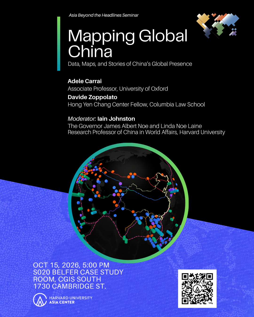
In the interview below, Adele Carrai discusses her work with Davide Zoppolato on Mapping Global China, an open-access research initiative that maps and analyzes China’s expanding global presence. Join us for Mapping Global China: Data, Maps, and Stories of China's Global Presence, a discussion with Carrai, Zoppolato, and moderator Iain Johnston, on Thursday, October 15, 5:00 p.m. ET, Room 020 Belfer Case Study Room, 1730 Cambridge Street.
How do you integrate quantitative datasets, spatial mapping, and qualitative narrative storytelling so that complex local dynamics are not reduced to simple points on a map?
This is at the heart of Mapping Global China. A map can be extraordinarily powerful, but it can also create the illusion that a point or a piece of data, captures the whole story. We live in an age increasingly shaped by what might be called a cult of data: the assumption that what can be quantified is somehow more complete, objective, or meaningful. But we treat the map or the data as an entry point rather than an endpoint, or a way to identify patterns and raise questions that must then be explored through historical, political, and local context. The project combines several layers. Quantitative datasets allow us to identify patterns across countries, sectors, institutions, and time. Spatial visualization helps us see relationships that are difficult to perceive in spreadsheets, for example, the clustering of ports, energy infrastructure, logistics networks, corporate investments, or knowledge institutions. But these patterns then need to be contextualized through qualitative research. This is why Mapping Global China also includes Global China Stories, research clusters, research briefs, conversations, and other forms of narrative analysis. We want users to be able to move from a global visualization to a particular country, project, company, or community and understand the political and social processes behind the data. The ambition is not simply to map where China is present, but to understand how that presence is produced, negotiated, and transformed locally. There is also another important methodological question, that maps and datasets are never neutral representations of reality. They are constructed through choices about what we count, how we classify it, and what becomes visible or remains absent. Two datasets may describe the same project but capture different dimensions of it. Combining information is useful only if we also preserve those differences and help users understand how the visualization was produced.
Aggregating reliable data on Chinese overseas capital, infrastructure, and institutional footprints presents significant access and verification challenges. What criteria and processes does your research team use to ensure open-access datasets remain rigorous, objective, and up to date?
One important principle of Mapping Global China is transparency about the provenance of our data and what those data can and cannot tell us. This is especially important when studying Global China, where information is often fragmented, definitions vary across sources, ownership structures can be opaque, and announced projects do not necessarily translate into completed investments. Our approach is therefore not simply to aggregate information, but to make different sources comparable where appropriate while preserving their original methodologies and limitations.
While some map layers are based on original datasets developed by our team, others bring together existing datasets, whose sources we identify and credit. For example, when users explore our Master Map and combine the energy and infrastructure layers, they may encounter the same power plant in two different datasets. One provides information about its technology and capacity, while another documents Chinese development finance. Rather than collapsing these observations into a single record, we preserve their original sources and allow users to explore their relationships. We also distinguish between layers that can meaningfully be combined and indicators whose different definitions could produce misleading comparisons.
A crucial part of this work is developing a rigorous data infrastructure. Davide Zoppolato, who leads our digital and data development work, has played an important role in translating our research questions and methodological principles into the technical architecture of the platform. Working with our interdisciplinary team, he has helped develop processes combining automated data processing with manual verification, including geospatial identification, matching records across datasets, and reviewing uncertain observations. These technical choices are also intellectual ones, as they shape how information is classified, connected, and ultimately interpreted.
For the original datasets we are developing, including our work on Chinese corporate statecraft and institutional footprints, we are establishing clear coding criteria and documenting sources, metadata, and methodological decisions. We want users to understand how observations have been collected and verified, while avoiding a false sense of precision. We are also developing mechanisms for users to submit corrections and additional sources, alongside Global China Stories, which allows researchers to contribute more contextualized accounts. This is particularly important because international datasets often overlook local knowledge and the perspectives of affected communities. We are also working on map explainers through which scholars can discuss the methodological choices, limitations, and silences of their datasets, making these issues accessible directly through the platform.
Ultimately, I see Mapping Global China as an evolving and collaborative research infrastructure rather than a static repository. Open access matters not simply because it makes information available, but because it allows knowledge to be scrutinized, challenged, corrected, and improved collectively. Our ambition is not only to make China's global presence more visible, but also to make more transparent how we produce knowledge about it.
Drawing from your work in Sovereignty in China, how does spatial mapping challenge or expand traditional legal definitions of state sovereignty, particularly when Chinese investments create economic or digital enclaves across different jurisdictions?
My work on sovereignty has made me particularly interested in the relationship between formal jurisdiction and the much more uneven geography of political and economic power.
International law continues to organize the world primarily through territorial states and jurisdictional boundaries. Yet many of the infrastructures that structure contemporary globalization and make connectivity possible—ports, logistics corridors, telecommunications networks, data infrastructure, special economic zones, financial networks—operate across those boundaries.
Mapping allows us to visualize some of these overlapping spatial orders. A port, industrial park, digital network, or economic corridor does not normally displace the sovereignty of the host state in a formal legal sense. But it may create new concentrations of economic dependence, regulatory interaction, corporate authority, technological standards, or connectivity.
Rather than suggesting that sovereignty disappears, mapping helps us see how sovereignty is increasingly exercised within a landscape of overlapping infrastructures, institutions, jurisdictions, and networks. In this sense, the spatial perspective complements the legal one.
In light of your forthcoming book, China’s Normative Power in Cyberspace, how does the digital dimension of Global China intersect with physical infrastructure mapping? Do digital networks follow the same geographical patterns as traditional capital investments, or do they form distinct spatial networks?
One of the arguments I develop in the book is that China's influence in cyberspace cannot be understood simply by looking at physical infrastructure. Digital power also travels through standards, regulatory concepts, training programs, institutional cooperation, and discourses about sovereignty and governance. There is certainly an intersection with physical infrastructure. Fiber-optic cables, data centers, telecommunications systems, smart-city technologies, satellites, and other forms of digital infrastructure have very tangible geographies. But digital networks also create a different kind of spatiality. Norms and technologies can travel through professional communities, international organizations, bilateral training programs, standards bodies, universities, and technical partnerships. Those networks may not correspond neatly to the geography of traditional investment or Belt and Road infrastructure.
One of the directions we are increasingly interested in for Mapping Global China is to connect the physical and normative dimensions of Global China: not simply where infrastructure is built, but how technologies, standards, knowledge, and governance practices circulate through these networks.
Global maps can sometimes flatten distinct regional contexts. What is a surprising finding or counter-intuitive trend revealed by your mapping tools that challenges prevailing geopolitical narratives?
One of the most interesting lessons from Mapping Global China is that there is no single geography of Chinese presence or influence. The more datasets we bring together, the more complex and sometimes contradictory the picture becomes. Different dimensions of China's global engagement do not necessarily overlap, and this challenges the tendency to interpret Chinese presence through a single geopolitical narrative.
Scale is particularly important. At the national level, a country may appear deeply connected to China through trade, investment, or development finance. But when we look more closely, we may find unevenness and that infrastructure projects are concentrated in peripheral regions, while cultural and academic cooperation is more visible in major cities and university centers. These different geographies raise important questions about who benefits from Chinese engagement and how it is experienced locally.
I am also particularly interested in the relationship between China's material presence and perceptions of China. We often assume that greater investment or economic engagement translates into greater influence, but this is not necessarily the case. Mapping infrastructure, trade, institutional networks, and public perceptions together allows us to investigate where these dimensions converge and where they diverge, rather than assuming a direct relationship between them. These differences raise questions about who benefits from different forms of Chinese engagement, which actors are involved, and how relationships transform local political and economic geographies. Geopolitical narratives often treat countries as homogeneous units and Chinese engagement as a single phenomenon, but neither assumption is particularly useful analytically.
For me, perhaps the most surprising insight is that changing the dataset, or simply changing the scale of analysis, can fundamentally change the geopolitical story we tell. This is precisely why we need multiple maps of Global China rather than a single measure of Chinese influence. Perhaps the most counterintuitive lesson is that the more we map Global China, the harder it becomes to reduce it to one geopolitical narrative.
Debates surrounding China's overseas footprint often contrast top-down state strategy against local host-country agency. How does Mapping Global China capture the ways local governments, civil society, and communities negotiate, adapt, or resist Chinese projects?
We deliberately try to move beyond the idea that Global China can be understood only as the outward projection of a unified Chinese state strategy.
Chinese actors themselves are diverse: central government agencies, provincial governments, state-owned enterprises, private companies, policy banks, universities, foundations, and individuals can have different interests. Host-country actors are equally important.
Projects are frequently reshaped by local governments, regulatory institutions, companies, courts, activists, communities, journalists, and electoral politics. Projects may be renegotiated, localized, delayed, expanded, redirected, or abandoned.
This is another reason qualitative research and Global China Stories are essential to the platform. The map can show where interactions occur, but understanding what those interactions mean requires looking at negotiation and contestation on the ground.
There is a methodological implication here as well: researchers and communities in the places we map are not simply sources of information, but participants in the production of knowledge. Their perspectives may challenge what international datasets suggest, reveal forms of contestation that are otherwise invisible, and change how we interpret particular projects.
The initiative is built as an open-access platform. How do you envision local researchers, journalists, and policy analysts in recipient countries using these tools to inform domestic debates or conduct independent inquiries?
That is one of our central ambitions. I do not want Mapping Global China to become simply another platform through which researchers based in Europe or the United States interpret what is happening in the rest of the world.
One problem with knowledge production about Global China is that data are often collected, organized, and interpreted far from the places where these interactions actually occur. Local researchers, journalists, civil society organizations, and communities may possess knowledge that is absent from international datasets. We want these actors to be able not only to access information, but also to interrogate it, identify inconsistencies, ask their own questions, and produce their own analyses.
This is why we have developed different entry points into the platform. The Master Map allows users to explore different dimensions of China’s global presence. Build Your Own Map enables users to select data and create their own visualizations. The Compare Map allows users to look at countries side by side and place Chinese engagement alongside broader economic and demographic indicators. Our Data Center offers more detailed breakdowns for users interested in particular geographies.
That broader context is essential. We should not look at countries exclusively through the lens of their relationship with China. Their political economies, histories, institutions, and domestic priorities are equally important in explaining what happens.
Global China Stories provides another space for more contextualized accounts of particular places, projects, and interactions. We are also developing ways for users to contribute corrections and sources, and planning training activities so that researchers and other interested users can work directly with the data and create their own maps.
But I also think that broadening participation requires going beyond digital tools and building research communities in the places we study. This is one of the reasons I have organized a conference in Tashkent this November, bringing together scholars working on China and Central Asia, and another workshop in Rio de Janeiro in December, focused on China's engagement with Latin America. These initiatives are part of a broader effort to move conversations about Global China beyond the traditional academic centers in Europe and North America and create opportunities for sustained dialogue with scholars and institutions in different regions.
We are also expanding our regional research clusters, including in Africa, Central Asia, Latin America, and other parts of the world, bringing together local scholars and researchers with different disciplinary backgrounds and perspectives. These clusters are meant to help shape the research questions themselves, identify issues that may be overlooked in broader geopolitical discussions, and develop new collaborations grounded in regional expertise. I see this as particularly important because knowledge production should not be a one-directional process in which information is extracted from local contexts and interpreted elsewhere.
Ultimately, I would like Mapping Global China to become a shared research infrastructure that different communities can use for purposes we may not have anticipated. For me, open access is not simply about publishing datasets; it is about broadening participation in the production and interpretation of knowledge about Global China. That also means creating spaces where scholars from different regions can contribute to defining what is worth mapping, what questions should be asked, and how we understand China's changing global presence.
As global financing models shift away from mega-infrastructure projects toward smaller, green, or digital initiatives, how flexible is your mapping framework in tracking these structural transitions in real time?
The architecture of Mapping Global China was deliberately designed to evolve. We began with infrastructure, energy, ports, trade, and development finance because these were central to the first decade of the Belt and Road Initiative and much scholarship on China’s global expansion.
But Global China is not static, and I think it would be a mistake to assume that the geographies associated with the first decade of the Belt and Road will necessarily define the next one. We are expanding into other dimensions, including corporate statecraft, environmental interactions, knowledge production, cultural exchanges, institutional networks, and China’s engagement with international organizations. Our research clusters help identify emerging questions and develop the datasets needed to investigate them.
These changes are not simply about the size or destination of investment. They concern the actors, instruments, relationships, and forms of engagement through which China connects to the world.
On real-time tracking, however, I would make an important distinction. Different kinds of information can be collected at different speeds. Official announcements, diplomatic exchanges, and public statements can sometimes be followed relatively frequently. Complex investment projects, corporate networks, and on-the-ground developments require more extensive verification. New information does not necessarily mean that something new has happened: an announced investment is not a completed project, and a newly documented record may reflect better research rather than a new development.
We are also experimenting with automated methods, including large language models, to extract, classify, and connect information across fragmented and multilingual sources. These tools offer possibilities but also raise questions about reliability, verification, and reproducibility.
For me, the challenge is not simply to produce faster or more comprehensive maps. It is to create a flexible infrastructure that can capture changing forms of Global China while remaining transparent about the evidence behind our interpretations.
Having built collaborative research infrastructures across Oxford, NYU, Harvard, and Columbia, what key lessons have you learned about fostering interdisciplinary, public-facing research on Global China during a period of heightened geopolitical tension?
The most important lesson is that genuine interdisciplinarity requires more than putting people from different disciplines into the same room. It requires building shared objects of research and a shared language.
A map itself is useful example in this respect. Political scientists, lawyers, economists, historians, geographers, data scientists, journalists, and area specialists can look at the same visualization and immediately begin asking different questions about it.
A second lesson is that collaboration between technical researchers and social science or humanities scholars needs to begin very early. The structure of a database or visualization already contains analytical choices. Categories, definitions, scales, and missing data are all intellectually consequential.
Finally, especially in the current geopolitical environment, it is fundamental to build research infrastructures that resist binary narratives. The purpose of Mapping Global China is neither to celebrate nor to condemn China's global presence. It is to make that presence more empirically visible and analytically understandable, while creating space for disagreement and multiple interpretations.
For me, this means building a shared research infrastructure where different forms of expertise, data, and perspectives can contribute to producing new knowledge about Global China, rather than simply coordinating a network of scholars. It also means protecting space for independent inquiry when geopolitical pressures encourage simplified or predetermined conclusions.
For attendees at this Asia Beyond the Headlines seminar, what is the single most important analytical or visual lesson you hope they leave with regarding the changing geography of Global China?
I hope they leave with the idea that there is no single map of Global China. What we call Global China consists of multiple, overlapping geographies: capital, infrastructure, corporations, trade, technology, knowledge, culture, environmental relationships, and political institutions. These networks operate at different scales and are constantly reshaped by actors both inside and outside China. Changing the dataset can change the map and often the geopolitical story we tell about it.
For me, that is the most important value of visualization: not that maps provide definitive answers, but that they allow us to see patterns, connections, absences, and contradictions that generate hopefully better questions.